
Raymarine
Standard Mapping
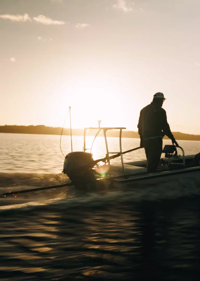
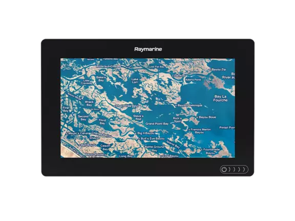
Raymarine Axiom and Element-series chartplotters are compatible with E-Cards from Standard Mapping. Standard Mapping E-Cards brings you high resolution aerial imagery and local names of waterways and land features along with major navigation aids.
Standard Mapping Electronic Charts
Raymarine Axiom and Element-series chartplotters are compatible with E-Cards from Standard Mapping. Standard Mapping E-Cards brings you high resolution aerial imagery and local names of waterways and land features along with major navigation aids. Designed for inshore and backwater anglers, Standard Mapping charts are optimized for maximum visual detail and precision accuracy. Standard Mapping Charts are available for popular inshore and coastal fishing areas of the US Gulf coast and Florida. Please visit Standard Mapping to learn more, see options and purchase charts.
Gallery
No list prices — tailored quotes only
Quote the
Standard Mapping
Tell us your vessel and helm layout. Our marine team replies within one business day with availability, compatible accessories and lead times.