
Raymarine
Caribbean & Brazil
Preloaded microSD card with coverage for Gulf of Mexico, South of Florida, Bahamas, Caribbean Islands and the entire coastline of Brazil.
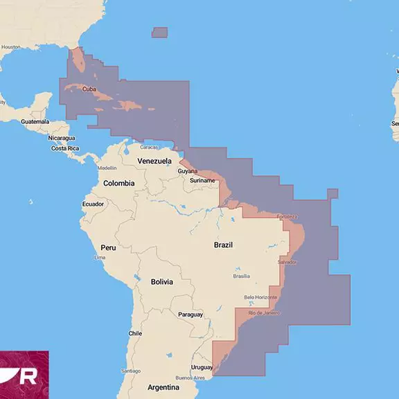
LightHouse Charts Caribbean & Brazil
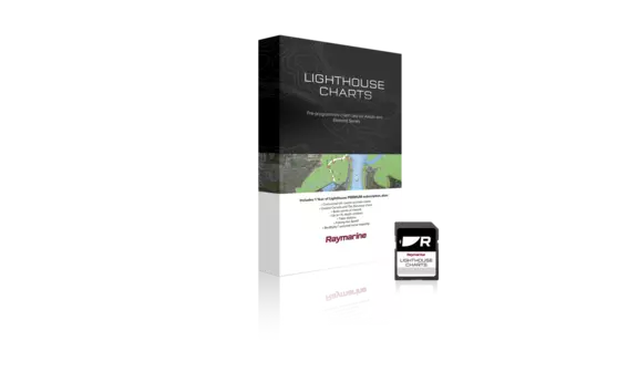
Take command of surrounding waters with LightHouse Charts Caribbean & Brazil. Discover visually stunning, customizable marine charts with color-shaded depth contours, data-rich points of interest and superior clarity that only Raymarine can provide.
Coverage & Latest Updates
Discover the latest updates along with coverage and chartplotter compatibility for the Caribbean and Brazil LightHouse Chart - Coverage - Latest Updates - Compatibility This chart includes coverage of Gulf of Mexico, South of Florida, Guatemala, Belize, El Salvador, Honduras, Nicaragua, Costa Rica, Bahamas, Turks and Caicos, Bermuda, Cuba, Jamaica, Cayman Islands, Navassa Island, Haiti, Dominican Republic, Puerto Rico, Virgin Islands (UK and US), Saba, Anguilla, St. Martin / Sint Maarten, St. Barts / Saint Barthélemy, St. Eustatius, St. Kitts and Nevis, Antigua and Barbuda, Guadeloupe, Dominica, Martinique, Montserrat, St. Lucia, Barbados, Grenada, Trinidad and Tobago, St. Vincent and the Grenadines, Aruba, Bonaire, Curacao, Guyana, French Guiana, Suriname and the entire coverage of Brazil. For the latest Caribbean and Brazil chart updates, please visit Chart Manager. Raymarine Axiom, Ax
LightHouse Charts Manager
The LightHouse Charts Manager is the portal to download LightHouse Charts and manage your LightHouse Charts Premium subscription. Use the LightHouse Charts manager to add Points of Interests / Premium Content to your selected regions - for both blank microSD cards and preloaded LightHouse microSD cards. Watch the video to learn how to download your charts and add POI to your selected regions.
Gallery
No list prices — tailored quotes only
Quote the
Caribbean & Brazil
Tell us your vessel and helm layout. Our marine team replies within one business day with availability, compatible accessories and lead times.